What is Aurelian?
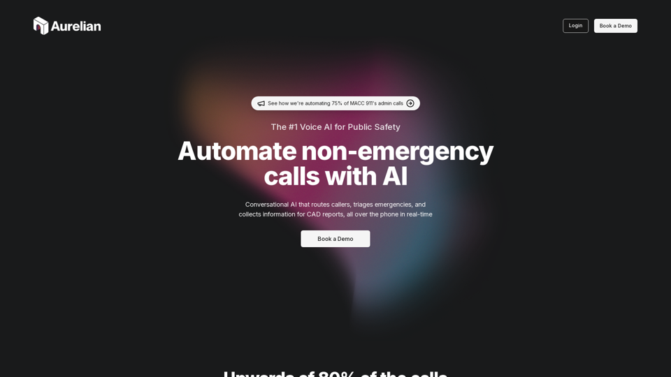
Aurelian is a Voice AI platform designed specifically for Public Safety, aiming to automate non-emergency calls and optimize the workflow of Emergency Communication Centers (ECCs). It leverages conversational AI to route callers, triage emergencies, and collect information for CAD reports in real-time, over the phone.
Feature
Aurelian offers a comprehensive suite of features to match the needs of ECCs of all sizes and services. Some of the key features include:
- Multilingual support for 35 languages
- Call monitoring with transcripts, summaries, and more
- Customizable AI to meet every agency's unique needs
- Open API for seamless integration with CAD or CHE
- Fully managed route creation and management
- Geovalidation to ensure accurate location mapping
How to use Aurelian
Aurelian is designed to be easily integrated into existing ECC workflows. With its powerful Voice AI, it can:
- Route callers to the right department and provide relevant online resources
- Triage emergencies and identify situations needing immediate assistance
- Collect incident-specific information to create calls for service
Price
Aurelian offers a cost-effective solution for ECCs, with pricing tailored to meet the unique needs of each agency.
Helpful Tips
To maximize the benefits of Aurelian, ECCs can:
- Utilize the customizable AI to meet their specific needs
- Leverage the multilingual support to cater to diverse communities
- Integrate Aurelian with their existing CAD or CHE systems for seamless workflow
Frequently Asked Questions
- Will Aurelian replace human dispatchers? Aurelian is designed to augment the capabilities of human dispatchers, not replace them. It aims to automate non-emergency calls, freeing up dispatchers to focus on true emergencies.
- Is Aurelian compatible with my existing systems? Aurelian offers an open API for easy integration with CAD or CHE systems, ensuring a seamless workflow.
- How does Aurelian ensure accuracy? Aurelian's Geovalidation feature ensures that locations map to valid addresses and flags areas of concern, ensuring accurate information collection.
